
stories
-
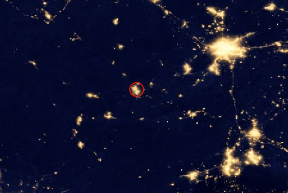 Identify Human activity
Here, NASA "Earth at Night" imagery highlights a protected area that has large amounts of light polution from human activity.
-
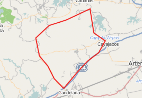
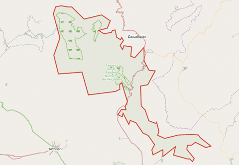
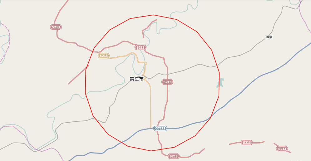 See if it's been mapped
However, on Open Street Map there are only a few major roads defined.
-
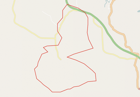
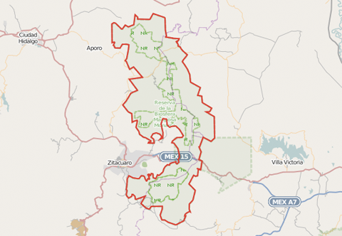
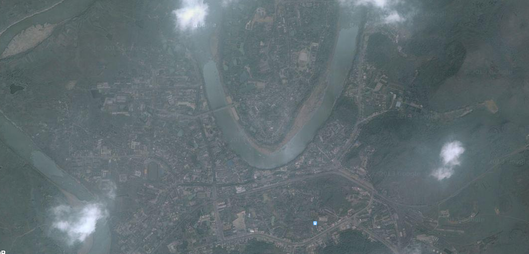 See what's really going on
Zooming in closer using a satelite basemap shows significant development within this Nature Resurve, not mapped on Open Street Map